
Germantown Neighbors by Source
Start with the question that a record can answer. WashCoGIS shows parcel geometry, roads, and boundaries. Ascent supplies the public tax card for one selected parcel. LandShark connects that parcel to recorded transfers. Voter information and directory entries can identify named people within their own legal and time limits. Civic groups add place context, but no official Germantown source publishes a complete neighborhood membership list.
| Block source | What the record can show | How to reach it |
|---|---|---|
| WashCoGIS | Adjacent parcels, roads, tax keys, zoning, imagery, and district context | Public interactive map; no neighbor export verified |
| Ascent parcel card | Owner, situs and mailing address, tax history for one parcel | Public one-filter search |
| LandShark | Historic transfers and legal-description links for selected land | Free name index; document images cost money |
| MyVote and voter list | Public registration fields within Wisconsin law, not all occupants | One-person lookup or full-file request |
| Directory editions | Past occupants at an address and possibly nearby entries | Library reference collection; reverse runs unconfirmed |
| Village property files | Projects and owner or contractor evidence tied to an address | Office or public-record request |
A parcel card proves what the county's tax system says about title and correspondence. It does not prove who sleeps at the address. A voter entry establishes registration as of its date, not every member of a household. Directory lines are also snapshots. Looking up Germantown neighbors means keeping those roles separate.
Map a Germantown Block
Open WashCoGIS and search the target address or tax key. Click the parcel polygon and confirm its address and key before zooming out one or two levels. Turn on parcel, road, address-point, aerial, zoning, and useful district layers. The app configuration supports address, owner-name, current-tax-key, retired-tax-key, and parcel or plat search routes. It did not expose a fixed radius report or a documented select-adjacent button.
- Save the target address, parcel key, map date, and visible layers.
- Click each parcel that touches the target and record its key and situs address.
- Check parcels across a road, water feature, or right-of-way as a separate group.
- Open each selected tax key in Ascent and read that parcel card on its own.
- Mark vacant, merged, or out-of-Village parcels as map facts, never as missing people.
The result is a reproducible parcel set, not a household roster. The Germantown street directory covers the wider named-street workflow when the task goes beyond the immediate block.
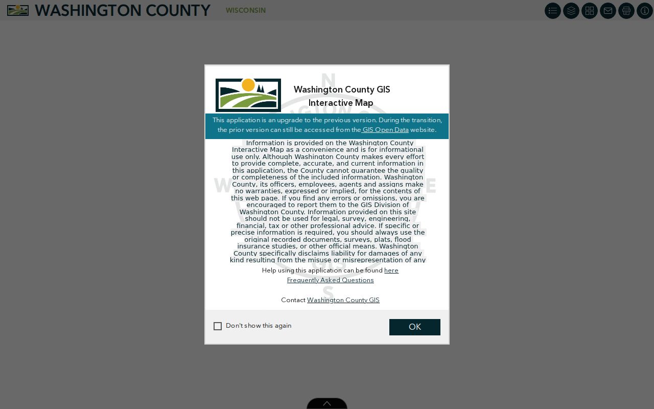
The captured WashCoGIS viewer shows the official map gateway used to move from one Germantown address to surrounding parcels.
Confirm the map date and layers each time. County tax maps state that they are not certified survey products.
Check Each Germantown Parcel
After map selection, use the Washington County Ascent parcel search for each tax key or address. County directions allow either a last-name filter or street number plus street name. They advise that less is more, and a directional term changes the result. Copy owner name, physical or situs address, mailing address, legal description, tax history, and map linkage when shown.
A mailing address that matches the parcel may support an owner-occupancy inference, but it is not proof of everyone present. A different mailing address may indicate an absentee owner, a business address, a trust, or another mailing choice. State the record exactly and avoid turning a tax field into a claim about the whole block.
Retired Germantown Tax Keys
Current geometry can hide an older split or combination. WashCoGIS includes current and retired tax-key geocoders, which can help connect an old permit, deed, or directory address to today's parcels. A legal description, plat, certified survey map, and road layout provide stronger continuity than a similar street number.
The 2026 county tax map demonstrates the visual clues available: parcel IDs, lot lines, acreage, roads, rights-of-way, water, subdivision or survey references, and municipal boundaries. Save the source and map date. If the block crosses the Village line, report that boundary instead of treating a Germantown postal address as proof of municipal jurisdiction.
Germantown Civic Block Contacts
No official umbrella HOA or neighborhood-association directory was found for Germantown. The verified community layer is organized through Village districts, the library, historic sites, churches, and county archives. These sources can explain a district, old hamlet, cemetery, or local event. They do not establish that a private person belongs to a group.
| Local resource | Block or place value | Public access |
|---|---|---|
| Village Clerk and election districts | Four districts, wards, and polling-place geography | Public district information |
| Germantown Community Library | Local history and catalog help for the Village and nearby areas | Public library service; no member list |
| Germantown Historical Society | Dheinsville, families, churches, cemeteries, and the built setting | Public site and seasonal research center |
| St. John UCC and cemetery | Historic congregation and burial-ground context | Public history; no verified interment index |
| Tower Heritage Center | County property, family, newspaper, directory, and map sources | Public archive services |
The Historical Society lists its Genealogy Resource Center at Dheinsville Historic Park and seasonal Wednesday hours from noon to 4:00 p.m. through September. Ask about a street, surname, church, cemetery, or old hamlet, not a private membership roster.
Historic Germantown Neighbor Clues
Modern blocks do not always match the community names in older records. Germantown developed from seven hamlets, and searches may need South Germantown, Dheinsville, Freistadt, Rockfield, Town 9, a church, or a township location. A 1915 Washington and Ozaukee County plat can show landowners, roads, and locality names before current parcel mapping.
For later decades, a West Bend Community Library finding aid documents Johnson Publishing county directories from 1969 through 1992 and R. L. Polk editions from 1995 through 2010. A reverse section, if an edition has one, may place past neighbors on adjacent lines. Exact reverse runs have not been confirmed, so ask the library before claiming address coverage.
Scale of Germantown Blocks
Census QuickFacts gives useful scale without identifying any person. The Village had 20,917 residents in the 2020 census and an estimated 21,050 in 2025, spread across 34.38 square miles of land. The reported density was 608.4 people per square mile. Those figures explain why a fixed-radius search can produce very different results in a compact subdivision, an older hamlet, and a large edge parcel.
QuickFacts also reports 8,601 households and 2.42 people per household, but those averages must never be assigned to one address. Its estimate that 89.9 percent of residents lived in the same house one year earlier describes broad community stability, not a promise that a specific block has stayed the same. The parcel map and dated records still control each neighbor check.
Boundary context matters as much as density. Germantown sits in southeast Washington County, beside Mequon and Ozaukee County to the east, Menomonee Falls to the south, Milwaukee County at the southeast corner, Jackson to the north, and Richfield to the west. A mailing address that says Germantown may not settle which municipality, school area, voting district, or record custodian applies. Confirm the Village boundary layer and the situs jurisdiction before moving from a map to a records request.
Germantown Voter List Limits
Wisconsin law makes specified voter-registration information public under Wis. Stat. §6.36, while withholding birth dates, driver-license numbers, Social Security numbers, accommodation indicators, and confidential-elector addresses. MyVote is a one-person check using first name, last name, and birth date. A full voter-file request is a separate route and may involve a written request and charge.
A voter record does not show a ballot choice. It also misses people who are not registered at that address and cannot reveal a protected location. Treat it as one dated registration fact, not a block census.
Official Germantown Block Evidence
Commercial neighbor tools compile records from many dates and can attach a person to the wrong parcel. Official systems are narrower, but they name the custodian and purpose of each field. That makes correction and date checking possible.
| Source type | Best use | Main limit |
|---|---|---|
| County map and parcel card | Define lots and identify the recorded owner | Not a household roster |
| Official voter or permit record | Check one legal fact at a stated date | Protected fields and record-specific scope |
| Commercial compilation | Possible lead for further checking | Source date, match, and correction path may be unclear |
If an official record is wrong, contact the custodian that holds it. A correction to one source will not automatically change every compiled copy.
Privacy for Germantown Neighbors
Public records do not reveal every occupant. Utility, delivery, account, and private membership data are not ordinary resident fields. DMV residence data is restricted by the federal Driver's Privacy Protection Act. Wisconsin Safe at Home, under Wis. Stat. §165.68, gives eligible people a substitute address, and confidential-elector procedures withhold an actual address from the public voter roll.
Do not try to reconstruct a hidden location or publish sensitive details from a deed image. The sound result may be that an address is protected, that a parcel is titled to an entity, or that no public source proves who occupies it. Those are valid findings.
Lawful use. Use Germantown block records for civic interest, reconnection, and personal safety. Never use them to watch, harass, intimidate, or harm anyone.